
Pocket 3D
Handheld 3D Scanner
Professional-grade SLAM LiDAR in your hand. One scan — four output pipelines.
- 16-line LiDAR · 48,000 pts/s · 2 cm accuracy at 60 m · ≤ 5 cm absolute accuracy
- 700 g ultralight · ~3-hour battery life
- Native 3DGS + Point Cloud · Mesh & BIM via 3rd-party software
- SLAM GO POST Pro — lifetime free, no subscription
- SLAM GO App — free lifetime updates

Pocket 3D Handheld 3D Scanner – 16-Line LiDAR · 2 cm Accuracy


Pocket 3D Handheld 3D Scanner – 16-Line LiDAR · 2 cm Accuracy
Reform the Real World in Your Hand — Pocket 3D is a compact handheld LiDAR 3D scanner that rapidly captures and reconstructs real-world scenes at 1:1 scale. One device, five model outputs:
· Colorized Point Cloud: Centimeter-level accuracy with 1:1 spatial reconstruction. Directly measure distances, heights, and areas.
· Photorealistic 3DGS Model: Photo-realistic visualization with free-viewpoint navigation and preset-path walkthroughs.
· Mesh : Lightweight triangular meshes for visualization, editing, and rendering.
Note: Requires compatible third-party software.
· Pose-Tagged Panoramic Images: Each image contains pose information for spatial navigation and traceability.
· BIM Model: Digitizes physical assets using 3D models.
Note: Requires compatible third-party software.
One Device, Four Model Outputs
- 3DGS Model: An ultra-realistic Gaussian rendering model with photo-level quality and immersive display — the preferred choice for film & TV, cultural tourism, and digital twins.
- Point Cloud Model: A centimeter-level precision point cloud fully restores spatial structure and dimensions, revealing every scene detail with vivid clarity for real, measurable data.
- Mesh Model: The lightweight triangular mesh model offers clear topology and remains adaptable to rendering, display, secondary editing, and other needs.
- BIM Model: The engineering-grade Building Information Model supports pipelines, structures, and dimension annotations and interfaces directly with construction design.
- Note: Mesh and BIM models require processing with third-party professional software.
Key Specifications
- 16-line LiDAR · Range 0.15–100 m · Horizontal FOV 360° · Vertical FOV 40° · Scanning frequency 10 Hz · Effective point frequency 48k pts/s
- Relative accuracy 2 cm @ 60 m (typical environment: normal incidence, detection probability 50%). Absolute Accuracy ≤ 5 cm
- Weight 700 g (without camera) · Dimensions 127 × 105 × 223 mm · Power 7 W
- Storage 32 GB TF · Battery 2450 mAh (SP20 handle battery) · Endurance 3 hours (room temperature) · Operating temperature −20 °C to 50 °C
- Interface: Type-C (battery charging) · WiFi · Bluetooth · 1/4 inch threaded hole (base port)
Camera Compatibility
Supporting Insta360®, DJI OSMO®, and other panoramic cameras out of the box — Insta360 X4 / X4 Air / X5 / X6, DJI OSMO 360, with more cameras supported in future updates.
Disclaimer: Insta360 and DJI OSMO are registered trademarks of their respective owners. References to the aforementioned brands are made solely for the purpose of illustrating product compatibility. This product is independently developed and manufactured by Feima Robotics, and bears no affiliation, partnership, or licensing relationship with Insta360 or DJI.
Note: Colored point clouds, panoramic images, and 3DGS models require an optional external panoramic camera.
Software
SLAM GO POST Pro — professional PC-end data processing software designed for Pocket 3D, with one-click generation of point cloud, panoramic image and Gaussian model results, plus result browsing, visualization, precise measurement and point annotation. Supports batch processing and fusion of multiple datasets. Lifetime free with free upgrades — no dongle or license required.
- High-fidelity 3DGS model construction without relying on an SFM algorithm
- High-precision indoor and outdoor colored point clouds (relative accuracy up to 2 cm)
- High-resolution panoramic image stitching with pose information
- Outputs panoramic images with calibrated poses; Colmap-format compatible; works with third-party software such as MipMap and Postshot
Use Cases
Industrial renovation design · Indoor exhibition hall digitalization · Substation digital twin · Accident investigation · Cultural heritage & game scenes · Personal memory preservation
What’s in the Box
Pocket 3D main body ×1 · Base ×1 · Memory card ×1 · SP20 handle battery ×1 · Charging cable ×1 · Card reader ×1
Delivery: Normally in stock. MOQ 1.
at 60 m
(40° Vertical)
Ultralight
Per Charge
LiDAR Rate
Multi-Return
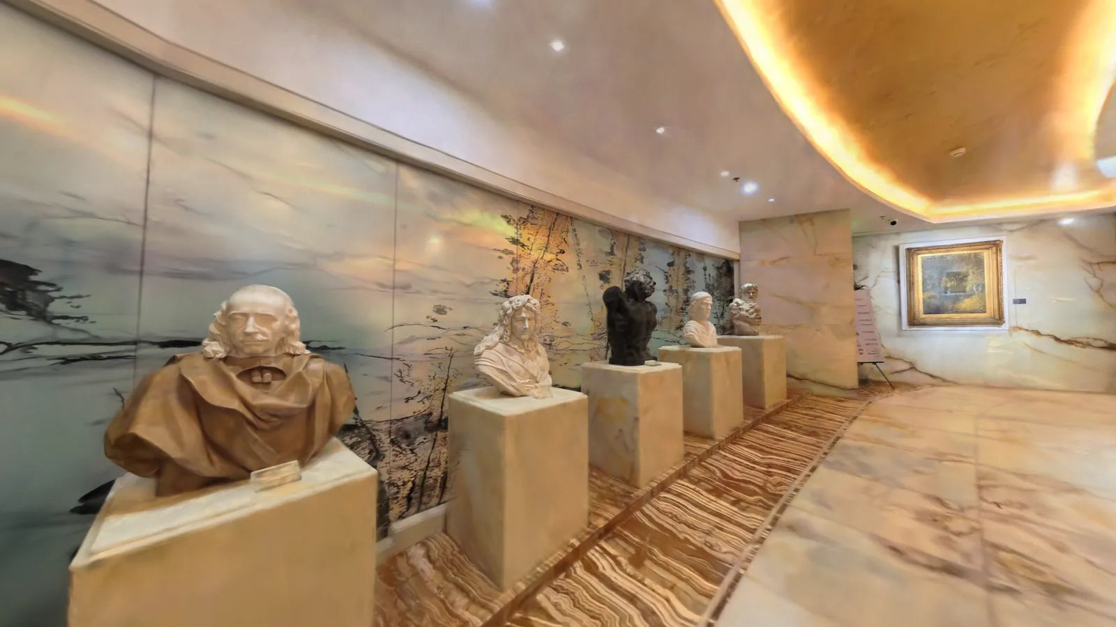
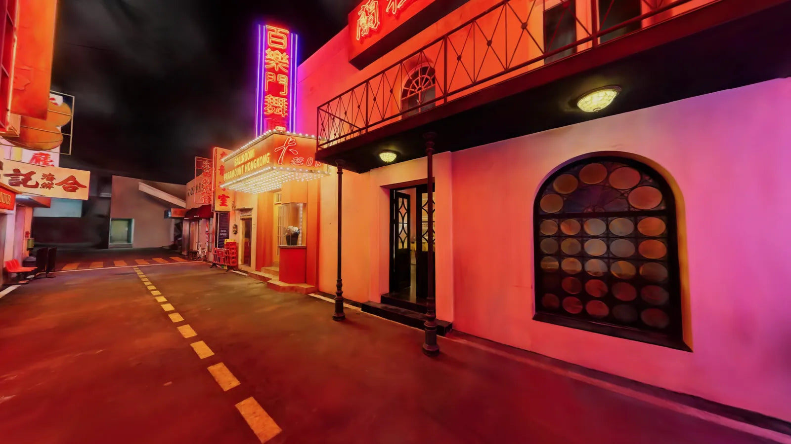
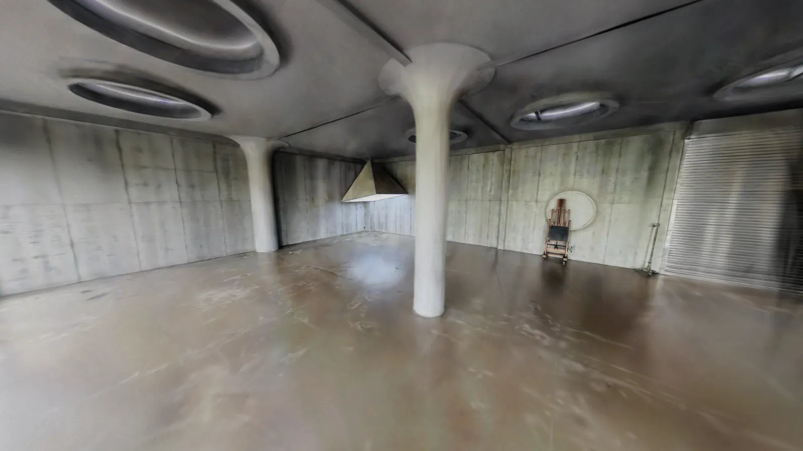
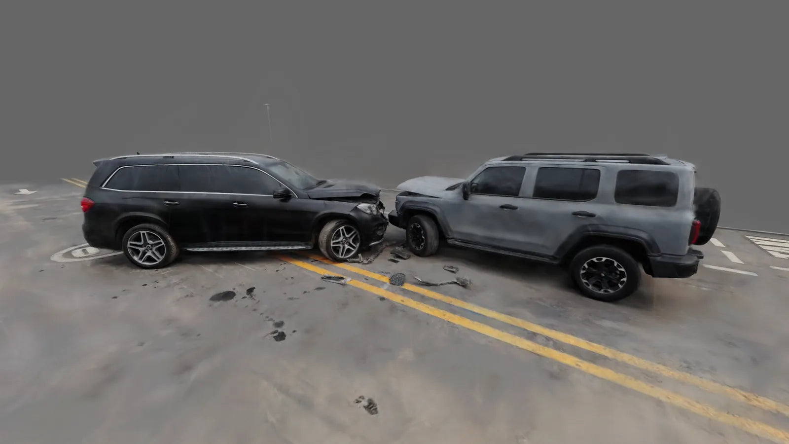
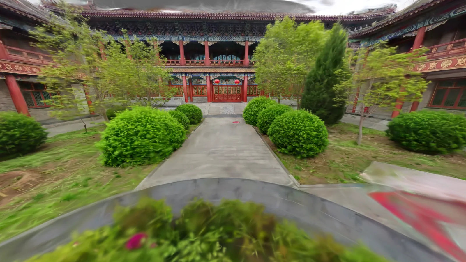
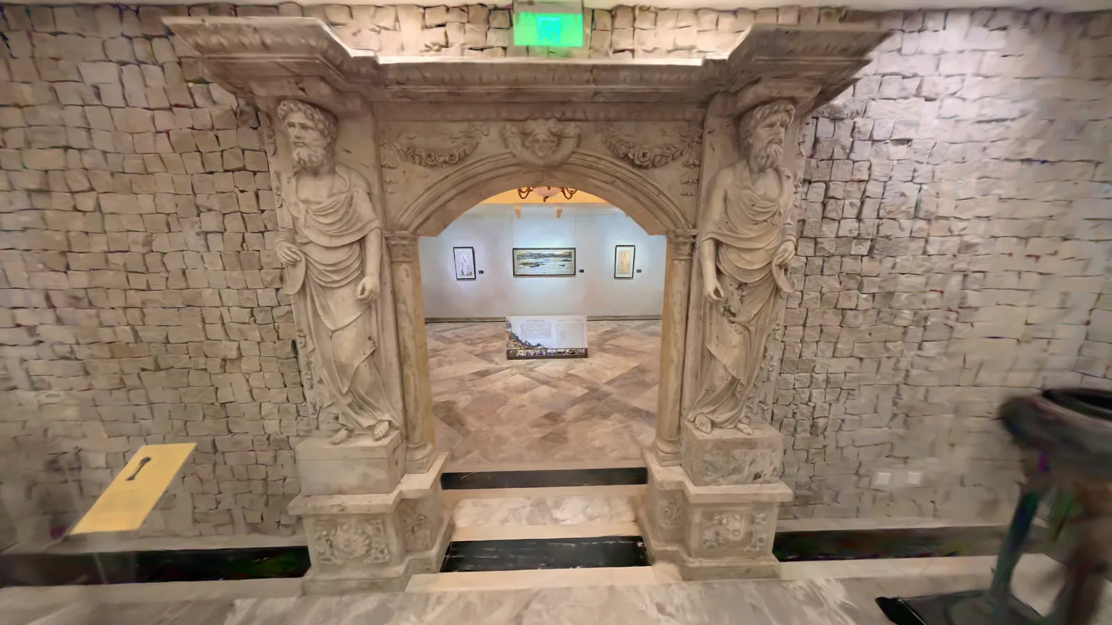
3DGS Outputs from the Field
Every image below is a genuine scan result produced by the Pocket 3D scanner — not a render or simulation.
See It in Action
Product Overview
Forestry & Nature Survey
Historic Architecture
Accident Investigation
Urban Street Scanning
Full Specs
| LiDAR Lines | 16-line multi-return |
|---|---|
| Point Rate | 48,000 pts/s |
| Relative Accuracy | 2 cm @ 60 m |
| Horizontal FOV | 360° |
| Vertical FOV | 40° |
| SLAM Algorithm | SLAM |
| Absolute Accuracy | ≤ 5 cm |
| Weight | 700 g |
|---|---|
| Battery Life | Approx. 3 hours |
| Operating Temp. | -20°C to 50°C |
| Storage | Included SD card + reader |
| Handle Battery | SP20 (included) |
| HS Code | 9015800090 |
| Native Outputs | 3DGS (.PLY), Point Clouds (.LAS, .E57, .LAZ, etc.), and Pose-Tagged Panoramic Images |
|---|---|
| Via 3rd-party SW | Mesh, BIM |
| Processing Software | SLAM GO POST Pro |
| Software License | Lifetime free (no subscription) |
| Camera Compatibility | Compatible with selected third-party 360° cameras (e.g., Insta360 X4/X4 Air/X5/X6, DJI OSMO 360)* |
| Control Point Collection | Supported via SLAM GO App |
* Third-party camera brands (Insta360, DJI) are trademarks of their respective owners. Compatibility does not imply partnership, endorsement, or official certification by those brands. Cameras are sold separately.

SLAM GO POST Pro
No subscription. No hidden fees. Lifetime free for registered devices.
Process your scans from raw capture to export-ready files entirely within SLAM GO POST Pro — no third-party pipeline required for 3DGS and point cloud outputs.
- Point cloud cleaning, noise filtering, and registration
- 3DGS scene reconstruction and export
- LAS / LAZ / E57 / PLY / Colmap format export
- Colorized point cloud support (with compatible 360° camera)
- Free lifetime updates for registered devices
What's in the Box
360° cameras are not included and must be purchased separately. Compatible with selected third-party 360° cameras (e.g., Insta360 X4/X4 Air/X5, DJI OSMO 360). Third-party brand names are trademarks of their respective owners.
FAQ
What outputs does the scanner produce natively?
Does the scanner include a 360° camera?
Is SLAM GO POST Pro really free forever?
What is the accuracy of the scanner?
How long does the battery last per charge?
Can I use the scanner outdoors in cold climates?
Expand Your Capability
The following third-party 360° cameras are compatible with the Pocket 3D scanner for colorized point cloud and 3DGS workflows. All brand names are trademarks of their respective owners. Foxtech does not represent, partner with, or claim official certification from these manufacturers.
8K 360° camera with excellent low-light performance. Works with Pocket 3D for full-color LiDAR point clouds and 3DGS output.
Compact 360° camera optimized for handheld mapping workflows, pairing with SLAM GO scanner for efficient field capture.
Latest generation 360° sensor with improved stabilization and dynamic range for demanding outdoor scanning environments.
Professional 360° imaging paired with SLAM GO for colorized scan capture in commercial and architectural documentation projects.
Flagship 360° camera with enhanced image quality and low-light performance for detailed colorized point clouds and photorealistic 3DGS models.
Insta360, DJI, and OSMO are trademarks of their respective owners. All third-party cameras must be purchased separately. Compatibility references reflect known integration support; no official partnership, endorsement, or certification by those brands is implied.
You may also like
Interested in SLAM GO POST Pro?
Contact us for pricing and availability.